Yesterday I was heading back home from the animal shelter, where I volunteer on Friday mornings, and noticed a helicopter circling around in the sky. Make that two helicopters. It was hard not to notice them, because they were so loud that it sounded like a war zone … or maybe a Charlie Sheen zone. 😎
Eventually, after I got home and got on the Internet I figured out what was causing the commotion. Across the ocean there had been a huge earthquake in Japan, and a tiny, mini-tsunami had hit Santa Cruz just a couple hours earlier. Santa Cruz, and specifically the Yacht Harbor, was one of the few places on the west coast of America where you could actually see some damage, so the news helicopters were all over it. Gotta have footage for the 6 o’clock news!
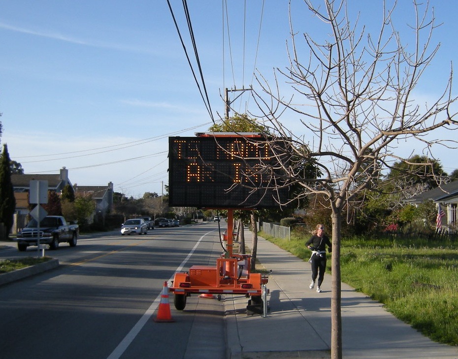
This morning I decided to take a stroll over to the Yacht Harbor and see what it looked like. Here was, literally, the first sign I saw.
You can’t read it very well because the camera’s exposure time was quicker than the flickering of the lights of the sign. That’s why some of the lights appear to be out. But trust me, they were on, and the sign said, “Tsunami Warning.”
When I got to the harbor I was expecting to see lots of debris, as in the Japanese tsunami pictures, but there was virtually none. It seemed like a normal Saturday morning at the harbor, until you looked a little bit closer.
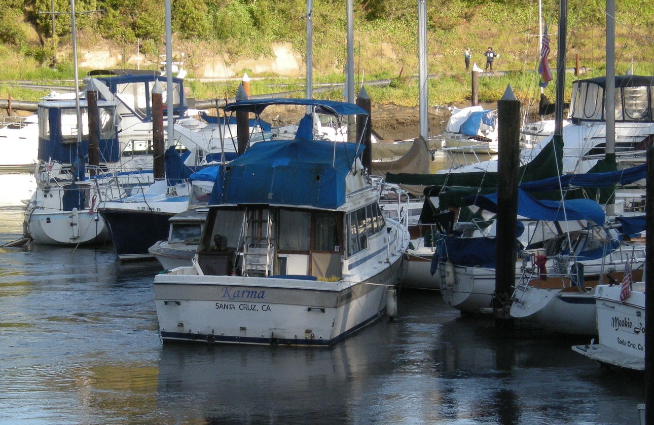
My Karma is double-parked!
The boats at the right are tied up at the pier. The boat in center, called the Karma, is not. It’s just tied up to a post, blocking the exit of the other boats. Presumably it either drifted away from its own pier, or its pier was destroyed, like the boat in the next pair of photos.
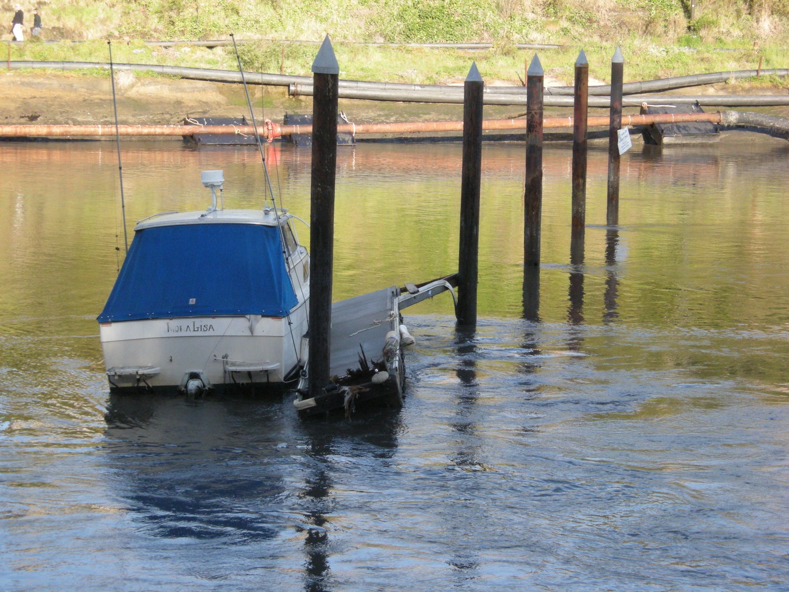
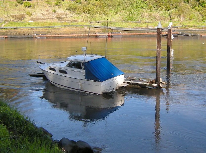
This was the most amazing thing I saw. This boat, the Mona Lisa, is still tied up to what remains of the U pier. The warped piece of metal and splintered wood at the boat’s right is the wreckage.
The other thing that amazed me was the current in the harbor. You can see in all of these pictures that the water is agitated, not smooth. Normally the water in the harbor is smooth, except near the entrance. But these pictures were taken hundreds of yards away from the entrance, where waves ordinarily never penetrate. Today, the harbor was flowing like a river — except that unlike a river, it was flowing back and forth. In the picture above, the water is flowing to the right (uphill). In the next picture, taken maybe fifteen minutes later, it’s flowing the opposite direction, to the left (downhill). The Mona Lisa acts just like a weather vane, pointing which way the water is going.
Oscillations in an enclosed or semi-enclosed body of water due to an earthquake are called seiches. However, because the water was actually moving horizontally (and quite rapidly), which is not normal for a seiche, I wonder if we are actually seeing secondary tsunami waves. Do any geology experts want to offer an opinion?
A guy who was standing nearby when I took this picture of the “weathervane boat” said, “Yeah, it’s been doing that for the last 24 hours.”
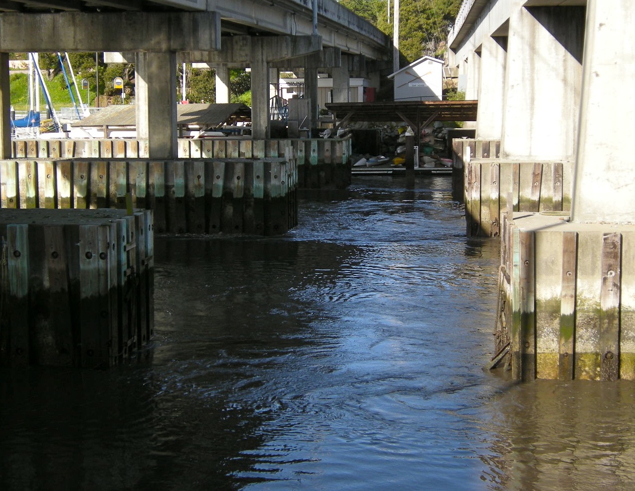
Here’s another picture I took of the flowing water. This picture was taken underneath the bridges that pass over the harbor. On the left side we have the Lower Harbor, closer to the ocean, and on the right is the Upper Harbor. The harbor narrows considerably at this point, and that seems to have been a contributing factor to the damage. The constriction concentrated the force of the tsunami, and the pier just to the right of the bridges — pier U, where the Mona Lisa was tied up — was basically destroyed. None of the other piers were as badly damaged.
Remember, this is all 24 hours after the first tsunami hit!
It would be interesting to know how high the water was yesterday. At a guess, I would say that the lower water mark on the bridge stanchions is probably high tide, and the higher water mark might be where the tsunami was. The estimates I read of the tsunami height were 3 feet, which I think would be consistent with the high water mark.
From what I heard at the harbor this morning, 30 boats sank, as well as (or maybe including?) all of the UCSC rowing club’s rowboats. The woman I talked with from the rowing club, who told me this information, was obviously quite upset. I asked her if they could be dredged up from the bottom of the harbor. She said “But there wouldn’t be any place to put them!” Anyway, that’s why appearances were so deceiving. There wasn’t much damage visible at the surface because the boats were all underwater.
Of course, the sinking of 30 boats is a minor, even trivial thing compared the the catastrophe that befell Japan. Nevertheless, my little walk down to the harbor left me with a new appreciation for the power of Mother Nature.


{ 2 comments… read them below or add one }
Well Dana…clearly you are a “newbe”
to Santa Cruz for if you were to ask any locals about earthquakes in Santa Cruz they would all point to downtown Santa Cruz and tell you such tales as to how is was destroyed in the quake of 1989. And since you enjoy the math…I notice that there is a probability of a 5.4 magnitude earthquake occurring again in the next 50 years.
So place those valuable chess trophies closer to the floor so they won’t suffer damage when they fall.
Yeah, I think that anyone who arrived after 1989 (I moved here in 1996) is a newbie. People still talk about the earthquake. But the tsunami of 2011 will be at best a very minor part of Santa Cruz folklore.
A couple updates: According to the Mercury News, the actual number of boats that sank was 18. (I don’t know whether that figure includes the UCSC rowboats.) And the currents that I wrote about really were small tsunami surges, much smaller of course than the first one. I didn’t realize that a tsunami could keep on going for 24 hours or more.